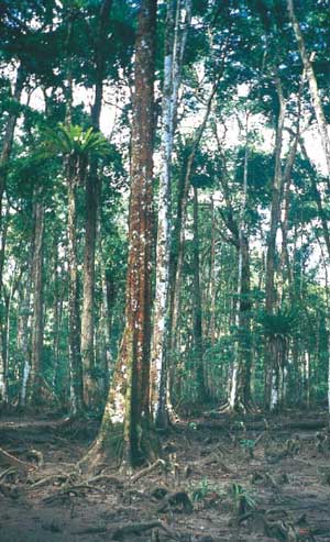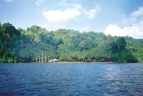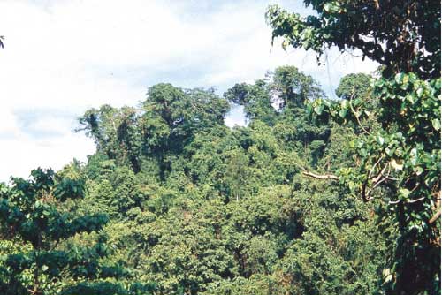
Mixed evergreen forest on Great Nicobar
The Nicobari photo album - Nature
Photos courtesy of the
Indian Institute of Remote Sensing (IRRS), Government of India
Dehradun 248001
Uttaranchal, India
Tel. 0135-2744583, Fax 0135-2741987
From Biodiversity Characterisation at Landscape Level in the Andaman and Nicobar islands using satellite Remote Sensing and geographic Information System, Institute of Remote Sensing, Dehra Dun, India, 2003
|
|
Mixed evergreen forest on Great Nicobar |
|
|
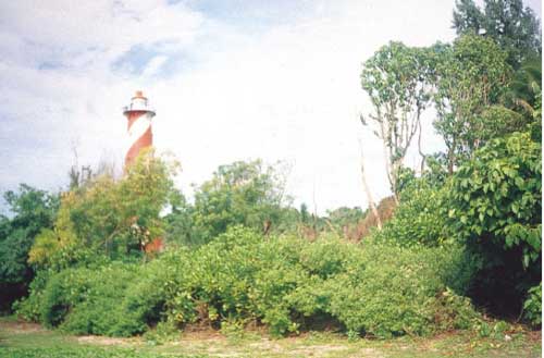
The southernmost point of Indian territory: |
|
|
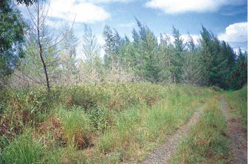
Casuarina forest along the coast of Kamorta island |
|
|
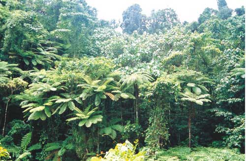
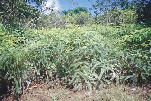
Tree ferns (Sphaeropteris albo-setacea) in evergreen forest on Great Nicobar |
|
|
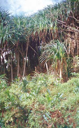
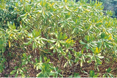
Pandanus leram along the north-south road on Great Nicobar |
|
|
Lowland swamp forest on Katchal island |
|
|
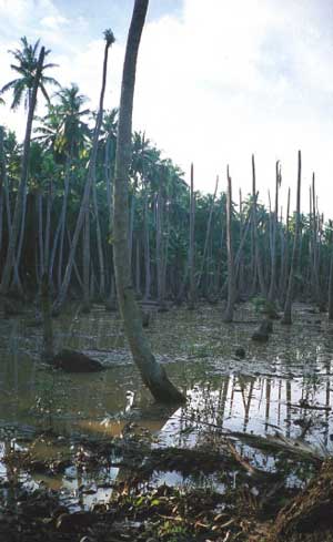
Coconut stand on Cat Nicobar, degraded through water-logging |
|
|
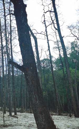
Bruguiera sp.on Trinket island, degraded through natural causes |
|
|
Rubber plantation with Hevea brasiliensis on Katchal island |
|
|
Scaevola sericea is common along the shores throughout the Nicobar islands |
|
|
The fern Dicranopteris linearis is common in the Nicobars |
|
|
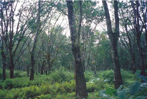
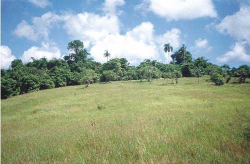
Upland grasslands on Car Nicobar |
|
|
A coconut plantation with a Nicobari settlement on Kamorta island |
|
|
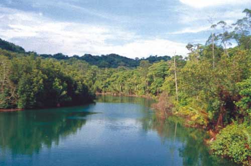
The Galathea River on Great Nicobar |
|
|
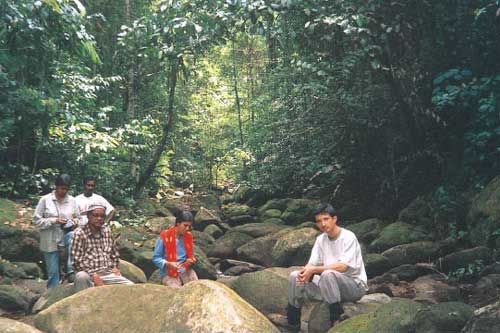
A scientific expdition on the way to Mt. Thulllllier on Great Nicobar takes a break in a dry stream bed, in the midst of evergreen forest. |
[ Go to HOME
] [ Go to HEAD
OF NICOBAR CHAPTER
]
Last changed 21 August 2005